Know where your neighborhood takes you.
Route · Park · Pace
Fewer surprises. More pace.
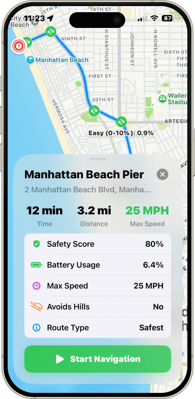
Navigation for neighborhood electric vehicles and every kind of low-speed ride. Right roads. Real parking. Local trips, mapped for how you actually ride.

Not in your neighborhood yet? Request your city below.
Route · Park · Pace
Fewer surprises. More pace.
Why the neighborhood needs its own map
The future of local travel is low-speed — and it needs a map of its own.
NEVs, golf carts, bikes, and scooters already move millions of everyday trips. Playa Maps is the wayfinder that connects them.
Most trips are already short
70% of South Bay trips — and half of all U.S. trips — are three miles or less. A two-ton car is the wrong tool for a two-mile ride.
The model is already proven
Where cities build for low-speed vehicles, people use them for daily life — calmer streets, less traffic, more connection.
But the map is missing
Car-first apps route you onto highways and hide the paths and parking made for low-speed rides. Playa Maps fills the gap.
Communities already living it
South Bay Local Travel Network (SBCCOG)
A planned low-speed network from Inglewood to San Pedro — the first of its kind, and the streets Playa Maps is built to route.
Peachtree City, GA — cart paths linking homes, schools, and shops
golf carts in The Villages, FL — daily life, off the road
CV Link — a low-speed network across six Coachella Valley cities
The roads are already there. The signs are already up. Playa Maps brings them to life — the digital wayfinder that turns “maybe” into “let's go.” Right-size your trip.
Your ride can do more.
Streets and parking built for low-speed trips — not highway shortcuts. Mapped for NEVs and every kind of local ride.
Beyond the usual loop
Routes and destinations past the streets you already know.
Across the network
Connected low-speed routes — city lines included.
Dedicated parking
Known spots for NEVs and low-speed rides, where they exist.
Everyday stops
Parks, coffee, shops, schools — the places short trips go.
Home before dark
Sunset times on the route so short trips stay in daylight.
Bikes and scooters too
Same local routing for bikes, e-bikes, and scooters.
Look inside Playa Maps
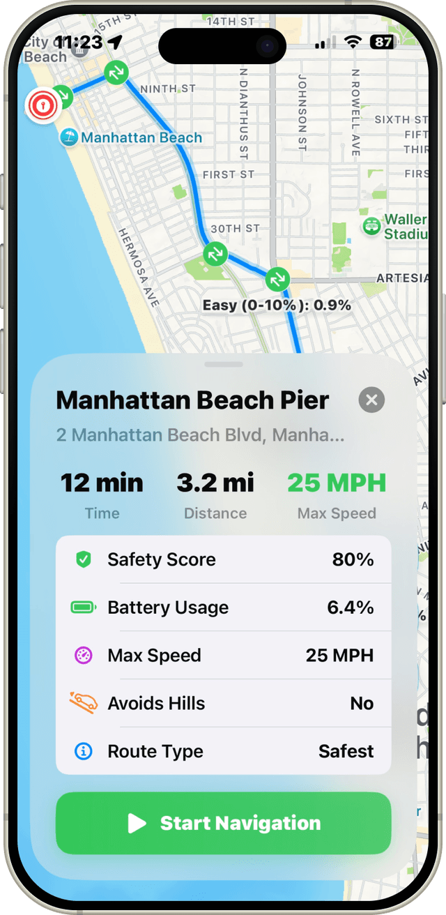
Search, routes, and turn-by-turn — built for short, local trips.
Micromobility
Low-speed routes. Calm local trips.

Bike-friendly routes
Bikeways and low-speed-friendly paths, no guesswork.

NEV parking
Designated spots for NEVs and micromobility.

Sunset
Know when the light fades before you head home.

One network, more places.
The network grows neighborhood by neighborhood, starting in LA's South Bay. Each new area joins the same map — so your rides keep reaching farther as coverage expands.
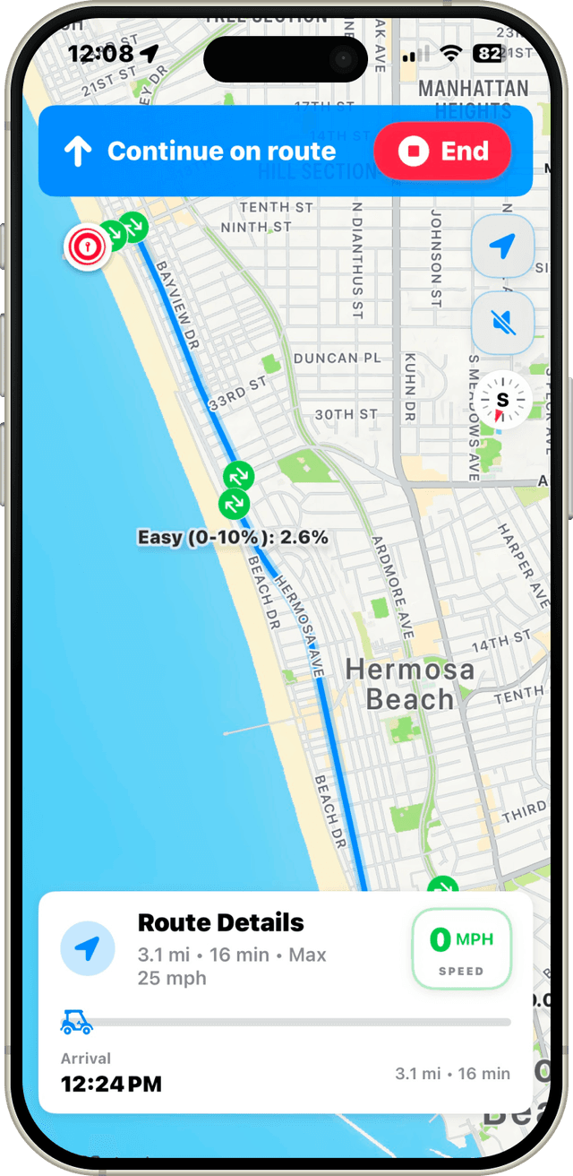
Turn by turn
Voice for the ride. You keep the view. On CarPlay, too.
See your neighborhood differently.
Routes and parking for the way short trips actually work — mapped for NEVs and every kind of low-speed ride.
Don't see your city yet? Request Playa Maps in your neighborhood.